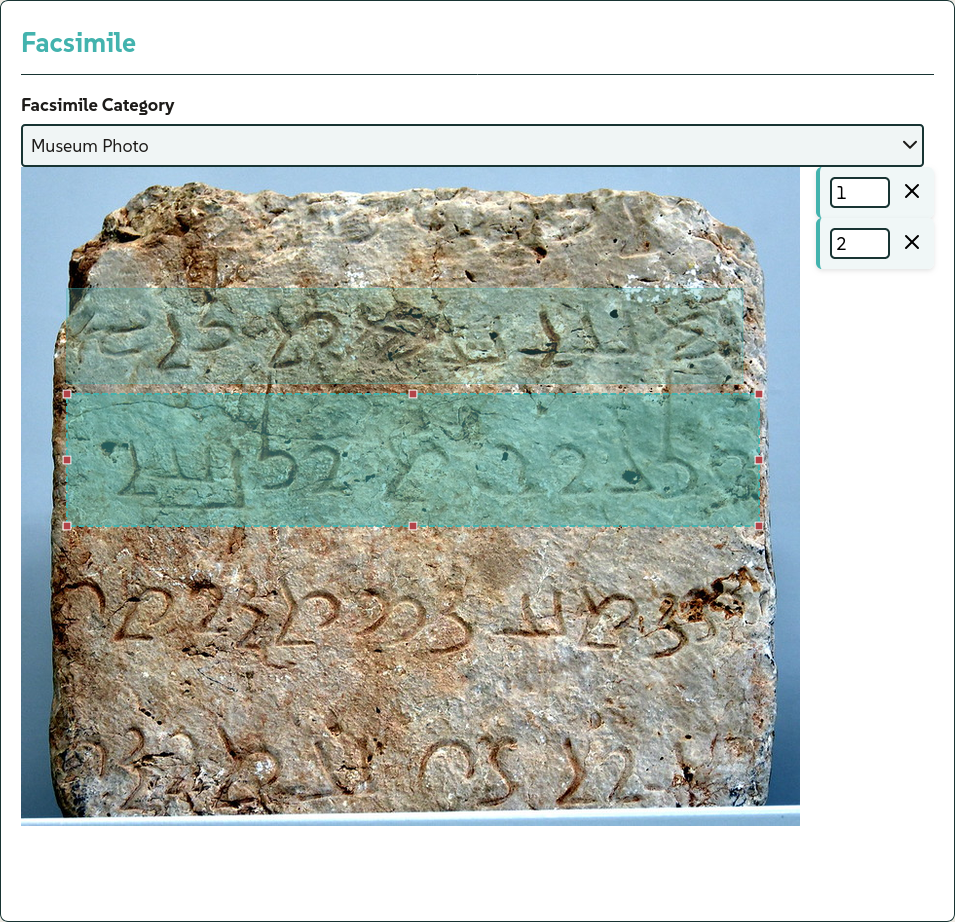
Visual Management and Facsimile Data Persistence
Available exclusively when working in IbiScript mode (.ibi), the facsimile panel allows precise geometric coordinates to be mapped onto the lines of the inscription text. The user is not required to write the configuration syntax manually: the editor automatically generates and updates a dedicated metadata block as soon as a region is drawn or resized using the mouse on the image. This data block ensures the persistence and portability of the visual anchoring directly within the source file.
An example of a block automatically generated by the graphical interface:
$image:
  url = paikuli-block.png;
  categ = museum;
  regions = [
    1 = 0.042501, 0.083288, 0.905037, 0.198611;
    2 = 0.052631, 0.364167, 0.892105, 0.242778;
    3 = 0.044736, 0.701359, 0.902631, 0.182083;
  ];
$
Within this structure, the url field identifies the visual resource, cat defines the archaeological or museum category of the image, and the reg array stores the geometric regions (normalised on a decimal scale) indexed according to their respective inscription line number.